
Introduction
The world of photography and mapping has been transformed in recent years, thanks to the emergence of drone technology. These unmanned aerial vehicles (UAVs) have not only made it easier to capture stunning visuals from the sky but have also revolutionized the way we gather and analyze geographical data. In this article, we will explore how drones are changing the landscape of aerial photography and mapping, highlighting their applications, benefits, and future prospects.
The Rise of Drone Technology
Drone technology has seen rapid advancements over the past decade, making aerial photography more accessible than ever before. Initially developed for military purposes, drones are now widely used in various industries, including agriculture, construction, real estate, and environmental monitoring.
1. Accessibility and Affordability
One of the key factors driving the adoption of drones in aerial photography is their accessibility. Traditional aerial photography methods, such as using helicopters or planes, can be costly and require specialized knowledge. In contrast, consumer and professional drones are now available at various price points, making them affordable for hobbyists and professionals alike.
2. High-Quality Imaging
Modern drones are equipped with advanced cameras and imaging technology, allowing them to capture high-resolution images and videos. Many drones come with 4K video capabilities, making them ideal for cinematic shots, real estate listings, and promotional videos. Additionally, drones can be fitted with specialized cameras, such as thermal or multispectral, to provide unique insights for specific applications.
3. Enhanced Creativity
Drones offer photographers and videographers the ability to capture unique perspectives and angles that were previously impossible to achieve. Aerial shots can tell stories and convey emotions in ways that ground-level photography cannot. With the ability to fly at various altitudes and positions, creators can experiment and push the boundaries of their artistry.
Applications of Drones in Aerial Photography
Let’s take a closer look at how different industries are utilizing drones for aerial photography.
1. Real Estate
The real estate industry has embraced drone technology to enhance property listings. Aerial photography provides potential buyers with a comprehensive view of the property and its surroundings, showcasing features such as landscaping and proximity to amenities. Drone video tours can create immersive experiences that draw in potential clients.
2. Event Coverage
Drones have revolutionized event photography, offering dynamic perspectives for weddings, festivals, and concerts. Aerial shots can capture the scale and ambiance of an event, providing memories that traditional photography might miss. Live streaming from a drone also enhances audience engagement.
3. Tourism Promotion
Tourism boards and travel agencies are increasingly using drone photography to promote destinations. Stunning aerial shots can attract visitors by showcasing natural beauty, landmarks, and attractions. Drones allow for creative promotional videos that highlight travel experiences, encouraging tourism.
Mapping and Surveying with Drones
In addition to photography, drones are making significant strides in mapping and surveying. Their ability to capture accurate geographical data and high-resolution images has made them indispensable tools for various industries.
1. Land Surveys
Drones are ideal for land surveying due to their precision and speed. Traditional surveying methods can be time-consuming and labor-intensive, but drones can quickly cover large areas and produce detailed topographical maps. Using photogrammetry, drones can turn aerial images into 3D models, providing valuable insights for land use planning and development.
2. Agricultural Mapping
In agriculture, drones are being used to monitor crop health and optimize farming techniques. With multispectral imaging, farmers can assess plant health, identify diseases, and improve crop yields. Drones make it easier to map large agricultural areas, allowing for data-driven decisions and efficient resource use.
3. Environmental Monitoring
Drones play a crucial role in environmental monitoring, enabling researchers to gather data on ecosystem health, wildlife populations, and natural disasters. Aerial imagery can help track changes in land use, deforestation, and the effects of climate change, providing critical information for conservation efforts.
Benefits of Using Drones for Photography and Mapping
The integration of drones into aerial photography and mapping offers numerous benefits:
- Cost-Effective: Drones reduce the need for expensive equipment and labor, making aerial photography and mapping more affordable.
- Time Efficient: Drones can cover extensive areas in a fraction of the time it would take traditional methods, speeding up project timelines.
- Data Accuracy: Drones provide highly accurate aerial data, crucial for decision-making in various sectors.
- Safe: Drones can access difficult or hazardous terrains without putting human operators at risk.
- Versatile: Drones can be used for various applications, making them adaptable to different industry needs.
Challenges and Considerations
Despite the many advantages of drone technology, several challenges must be considered:
1. Regulatory Issues
Drone operations are subject to strict regulations in many countries. Pilots must adhere to guidelines regarding flight altitude, distance from people, and restricted airspace. Understanding local laws is crucial for compliant operation.
2. Weather Limitations
Adverse weather conditions can hinder drone operations. Rain, strong winds, and low visibility can impact image quality and safety. Operators must carefully assess conditions before planning flights.
3. Technical Limitations
While drones offer impressive technology, they still face limitations. Battery life, flight range, and payload capacity can affect the scope of work. Operators must account for these factors in planning missions.
The Future of Aerial Photography and Mapping
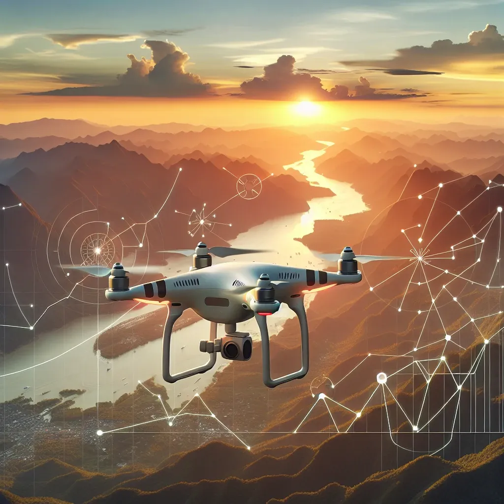
The future of aerial photography and mapping with drones looks promising. As technology continues to evolve, we can expect advancements in artificial intelligence (AI), machine learning, and autonomous flight capabilities.
1. AI Integration
AI can enhance data analysis and image processing, allowing for more accurate interpretations of aerial imagery. Automated mapping software could streamline workflows, making it easier for users to generate maps and models.
2. Improved Sensors
Future drones are likely to feature even more advanced sensors, enabling them to capture data across various spectrums. This could lead to greater insights in agriculture, construction, and environmental monitoring.
3. Increased Autonomy
The development of autonomous drones will allow for more efficient operations. These drones could carry out surveying and mapping tasks without constant human input, leading to significant reductions in labor costs and human error.
Conclusion
Drones have undeniably revolutionized aerial photography and mapping, offering new possibilities for creativity and efficiency across various industries. With their increasing accessibility, advanced technology, and diverse applications, drones are set to play an even more significant role in the future. As we embrace this technology, it’s crucial to navigate regulatory challenges and leverage the many benefits drones provide to maximize their potential.